
I rode up South 14 in the Manzano Mountains this morning with a couple of friends. It’s been hot in town, and the ride seemed like it would offer some mountain cool.
Albuquerque spreads across an alluvial plain at the base of the Sandia and Manzano Mountains, and once you get out of town and into Tijeras Canyon, the road takes you through a succession of neat ecosystems. This is on my mind because the Ecological Society of America is in town, and I hope to spend the better part of the next couple of days soaking in science. In other words, I had ecosystems a bit on the brain, and the South 14 ride is a great one for ecosystems.
Up Tijeras Canyon, old Route 66 follows an arid landscape riparian stream, but the real fun is on the hill slopes on either side of the canyon – some great piñon-juniper woodland. The hillsides are still dotted with dead trees – little bits of gray – from the dieoff during the drought of 2002-2003. The road turns south, and climbs up until, at about 7,000 feet elevation (2,100 meters) the road makes a big turn to the east and you see your first hillside of ponderosa.
That boundary – the line between the PJ and the ponderosa – is what ecologists call an “ecotone”. Back in 1998, I had my first serious exposure to the idea when Craig Allen and Dave Bresears took me hiking at Bandelier National Monument to show me the area where the PJ-ponderosa boundary had measurably shifted during the drought of the 1950s. The lowest elevation ponderosa had died back, and the PJ crept up slope.
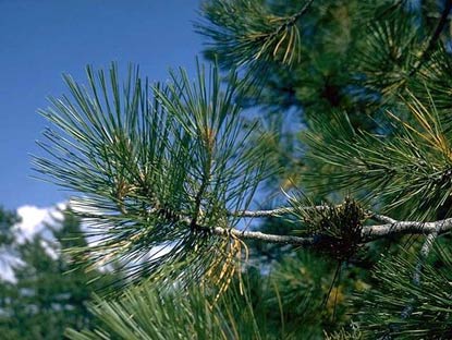
ponderosa needles
Conceptually it’s interesting, because it suggests something important about ecosystem response to climate variability, which was more on my mind at the time than was climate change. It’s a great paper (Drought-induced shift of a forest–woodland ecotone: Rapid landscape response to climate variation, Craig Allen and David Breshears, PNAS December 8, 1998 vol. 95 no. 25 14839-14842), but what really affected my thinking was walking in the woods with Dave and Craig and seeing the ecotone for myself.
Up South 14, the road follows the ecotone for a while before heading up into the Ponderosa. By the time we got to the top, about 7,500 feet (2,300 meters), the wind through the pines brought that vanilla smell you get in a ponderosa forest. On the ride down, you could feel directly the reason one kind of ecosystem thrives low, and the other thrives high. It’s a pretty fast descent, and we literally felt the air getting warmer as we went down.
This evening, going through the program for the ESA meeting, I noticed Craig’s giving a talk. I think I’ll drop by.
(picture of ponderosa needles courtesy National Park Service, because I forgot I could take a picture with my cell phone)
John,
Andy Revkin is trying to start a discussion about Energy Questers (http://dotearth.blogs.nytimes.com/2009/08/05/seeking-discouraged-energy-questers/), the people who are trying to commercialize products that may slow the movement of the ecotone.
Interesting discussion there and in Revkin’s previous post on ARPA-E.