A river is not just in one place. It extends in time up and down its watershed.
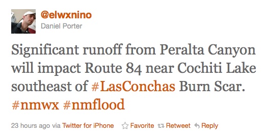
Last night, Daniel Porter at the Albuquerque National Weather Service office sent out an alert of possible flooding on Peralta Canyon, which enters the Rio Grande about 40 miles north of Albuquerque. Its watershed was burned in the Las Conchas fire:
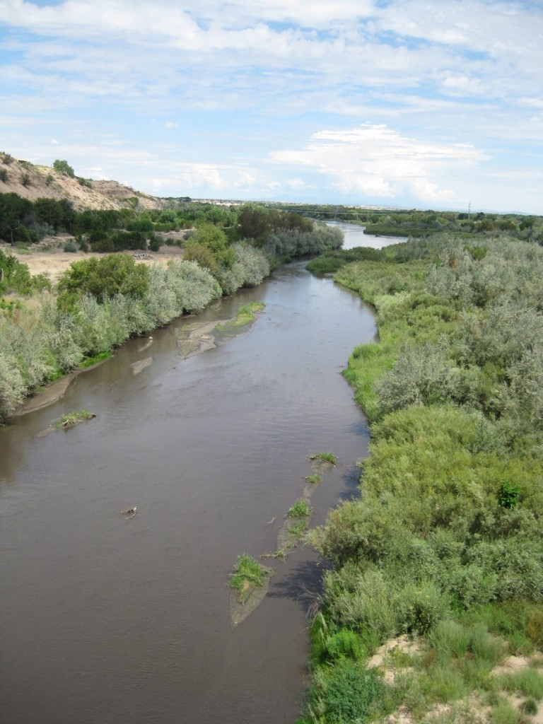
Much of the Las Conchas burn area is north of Cochiti Dam, a flood control structure that has been trapping the soot and ash from burn scar thunderstorms. But Peralta is downstream from the dam. This morning I took a bike ride to see the river. Here’s what it looked like from the bike bridge next to Interstate 40, in the middle of Albuquerque. Hard to see, but the water is a grayish black:
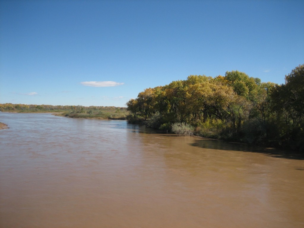
For comparison, here’s the normal reddish brown of the Rio Grande:


Pingback: After the Fires | Photo Flurries