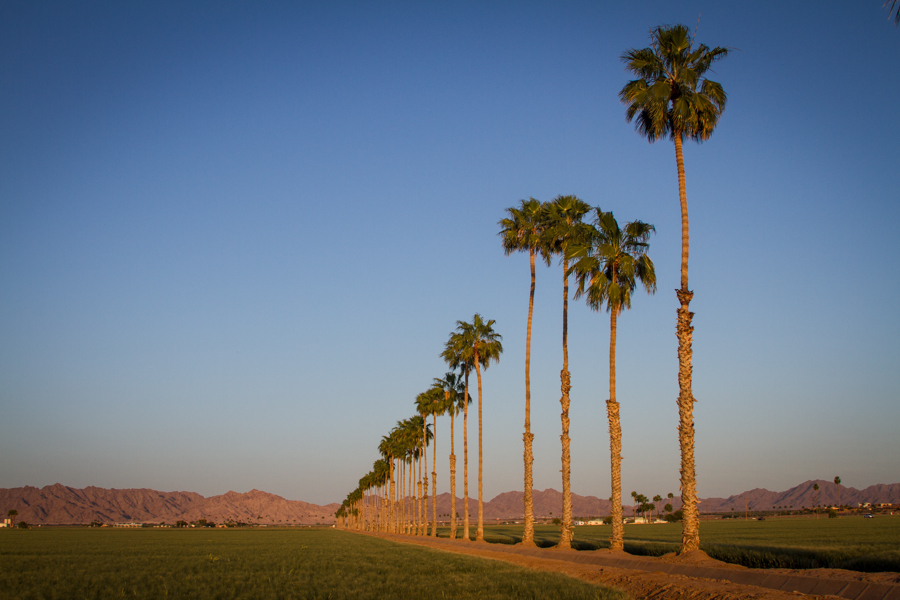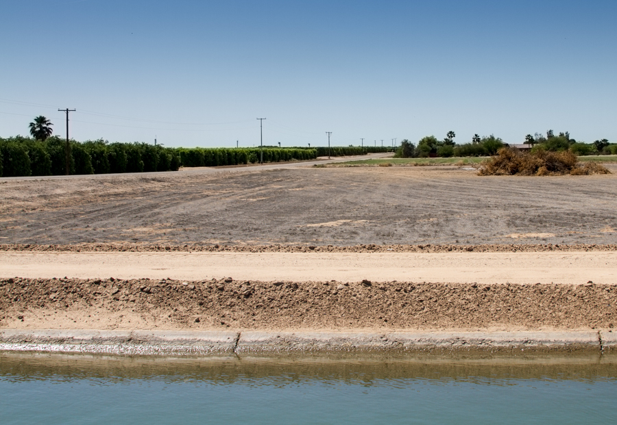
Fallowed field on Yuma Mesa, April 2015, by John Fleck
This is a field fallowed under a 2013 agreement between Yuma Mesa Irrigation and Drainage District and the Central Arizona Groundwater Replenishment District.
The deal is small, but it raises all kinds of fascinating issues of both water management and culture down here in Arizona’s southwestern corner, where water is both economically critical and culturally of profound importance.
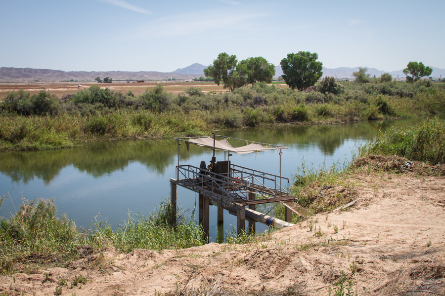
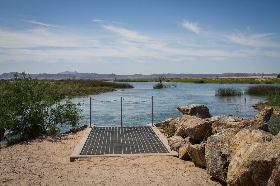
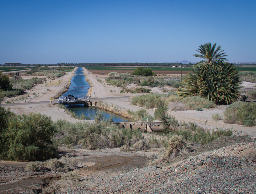
The economics makes sense. Farmers up on the mesa’s sandy soil pretty much exclusively grow citrus, which has had its ups and downs in recent years. Every 15 or 20 years, they pull out groves and rest the land for a few years to kill the cooties (not the technical term) that build up in the soil before planting new fruit trees. Typically they’ll plant alfalfa as a cover crop to generate a bit of income during this cootie-killing phase. But CAGRD came down here a few years ago with an offer: $750 an acre to simply fallow the land. (update in response to reader question: It’s $750 per acre per year, currently a three-year agreement, with farmers able to move in an out of the program in one year increments during that time.) (Brett Walton did a good story back in 2013 explaining the deal in more detail.) That’s more than the farmers would have made with the alfalfa, so a bunch signed up – 1,420 acres’ worth, a bit less than 10 percent of the irrigated land on the mesa. The unused water, which preliminary calculations put at a bit less than 5 acre feet per acre, is held in Lake Mead.
It’s not a lot of water. This was as much about learning how to do a deal like this in Arizona as it was about the water saved. California is much further along in this sort of thing, with ag->urban transfers from Palo Verde and Imperial Valley to coastal Southern California. But this is new territory here in Arizona.
I’m not sure yet what lessons have been learned. There are, as one ag water person down here told me, a lot of people in Yuma that don’t want any water leaving Yuma. It’ll be interesting to see if the agreement is renewed.