
I’ve apparently got more time on my hands than skill, but I figured out, somewhat crudely, how to downland LANDSAT maps and make some pictures. Here’s the largely dry bed of the Colorado River on February 27. Apologies for the large file size, but it should have enough resolution to click and zoom if you’re able:
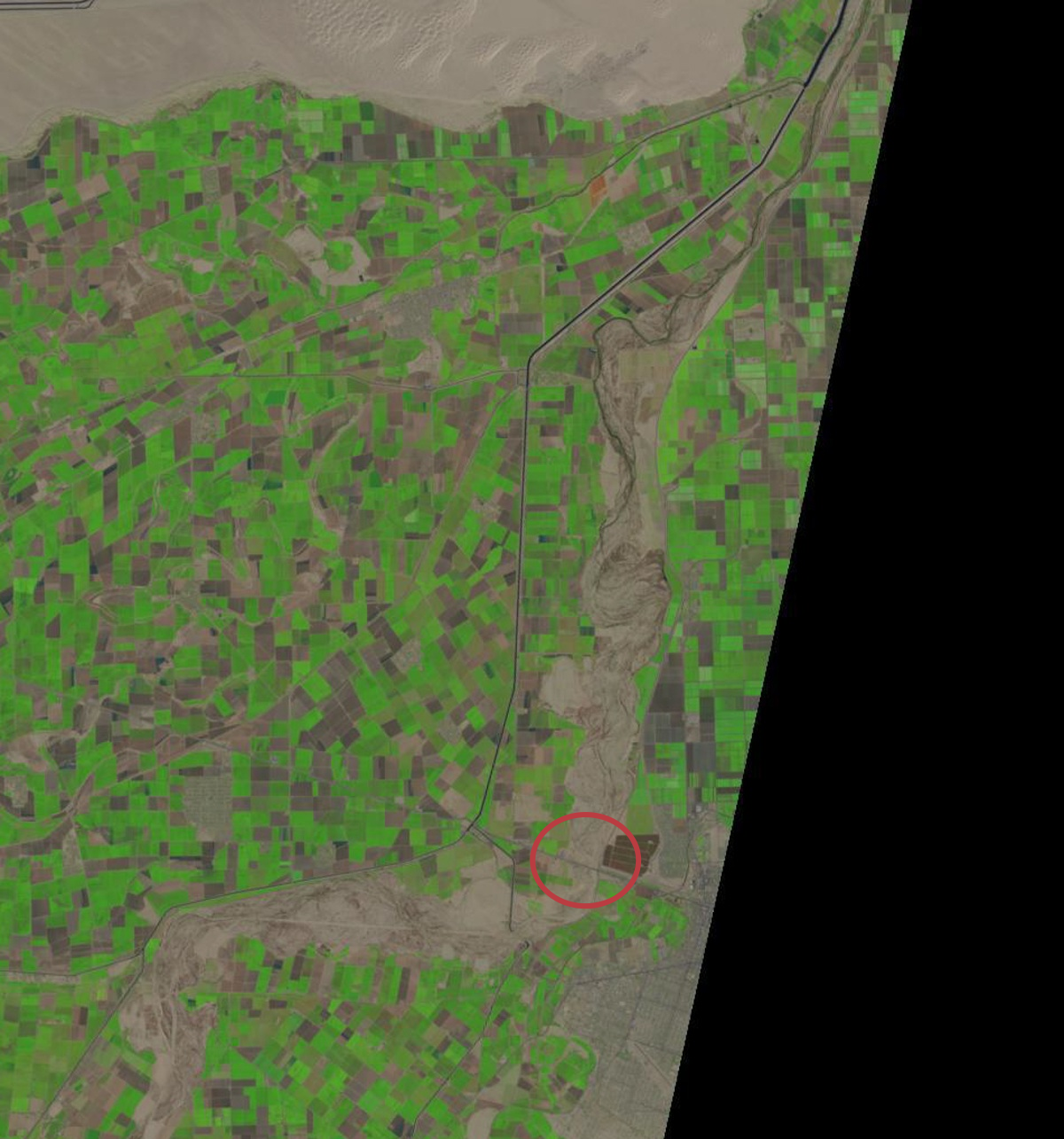
Colorado River, US-Mexico border, Feb. 27, 2014
The circled bit is the San Luis bridge. Here’s roughly the same field of view on Wednesday:
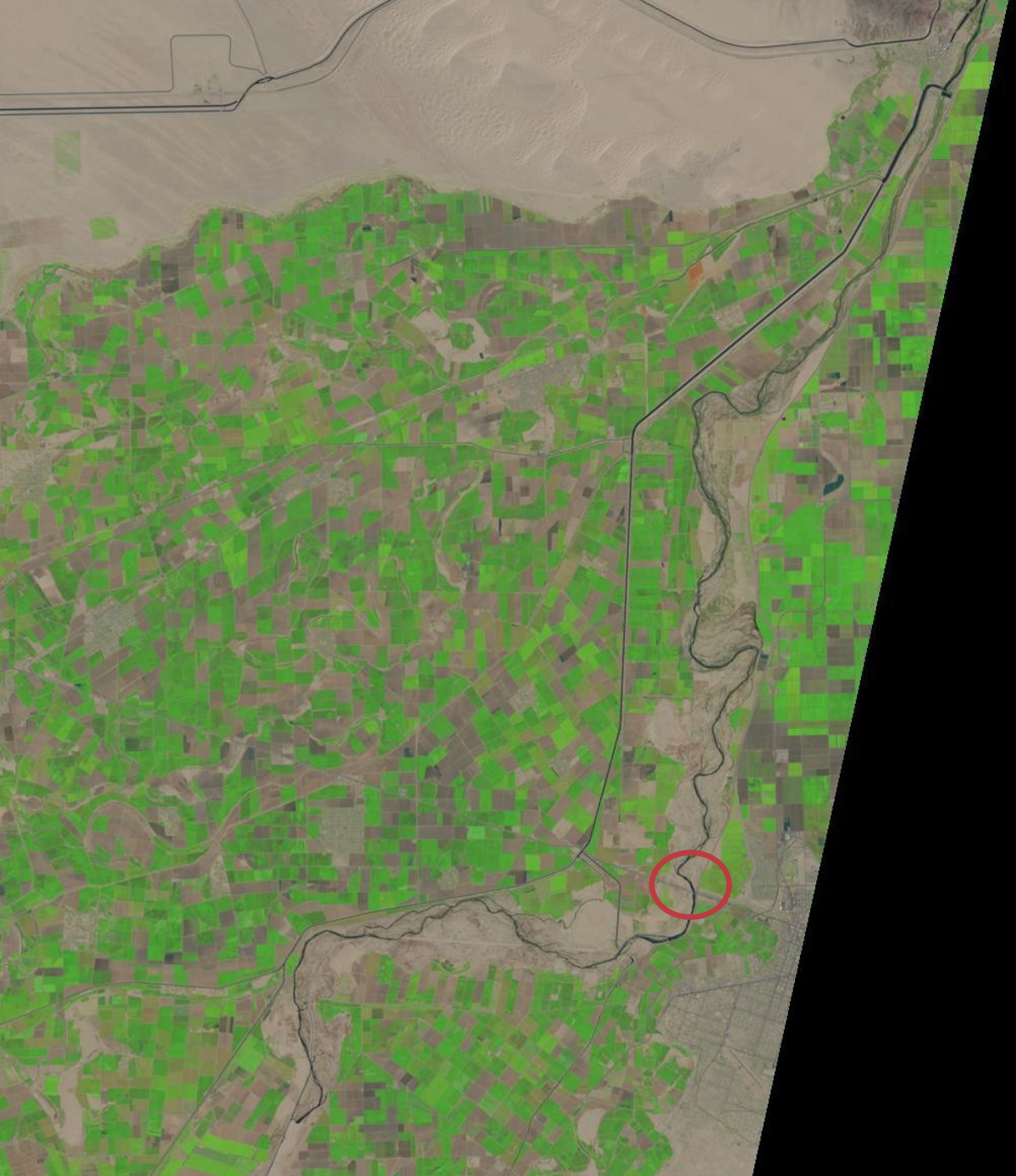
Colorado River, US-Mexico border, April 16, 2014
Still looks like there’s water at the San Luis bridge.
Pingback: Another Week of Climate Disruption News, April 20, 2014 – A Few Things Ill Considered
Pingback: Another Week of Climate Disruption News, April 20, 2014 [A Few Things Ill Considered] | Gaia Gazette