
Now that I’ve figured out how to easily download NASA Landsat imagery, (thanks, USGS!) I don’t think I’m going to get much else done this weekend. It’s an amazing conceptual tool for helping to think about how water moves through western North America. Here’s Albuquerque on April 13, with the colors tweaked to highlight growing plants. Finding the metro area’s golf courses is left as an exercise for the reader:
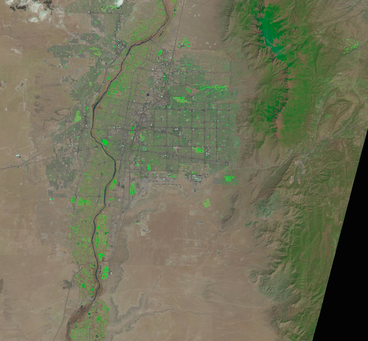
Albuquerque as seen from space, April 13, 2014, via NASA Landsat. Colors enhanced.
Pingback: Another Week of Climate Disruption News, April 20, 2014 – A Few Things Ill Considered
Pingback: Another Week of Climate Disruption News, April 20, 2014 [A Few Things Ill Considered] | Gaia Gazette
Hi John, You should look at Timelapse. You won’t have to download anything!
http://world.time.com/timelapse/