
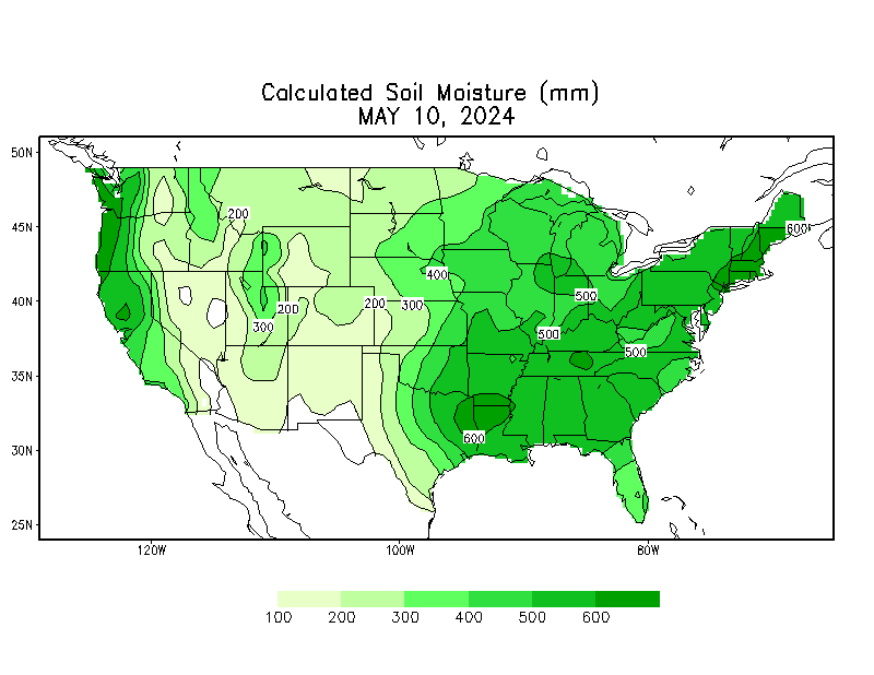
One useful measure of drought/pluvial conditions is soil moisture, which is critical both for non-irrigated farming and natural ecosystems. Today’s map is from NOAA’s Climate Prediction Center, which publishes a host of map products intended to illustrate what’s going on.
Note that the map I’ve chosen does not represent absolute soil moisture, which is available but is not terribly useful. Farms and ecosystems are adapted to “normal” conditions and the normal range of variability in their particular location, so what matters is not the absolute moisture but the extent to which current conditions depart from the norm.
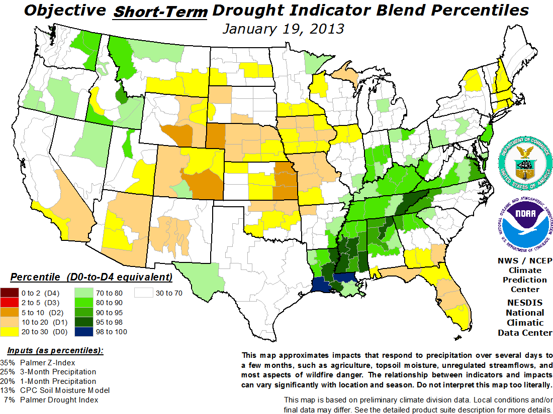
Soil moisture corresponds with short-term conditions, and you can see a lot of similarity between the map above and the drought monitoring folks’ short term blend. Here in New Mexico, you can see the green splotches (color choice in the map is obvious and useful) indicating the relatively wet winter we’ve been having.
What soil moisture misses is the long term hydrologic conditions. That’s why the green splotches on New Mexico can be deceptive. While a great deal of our agriculture is dryland, soil moisture dependent, much of the ag in the central part of the state, along the Rio Grande, depends on snow-fed irrigation, and even multi-year snow pack conditions because of reservoir storage. That’s why conditions in New Mexico, while definitely improving, are not as good as it seems when I go out in the back yard and poke my finger into the dirt.