
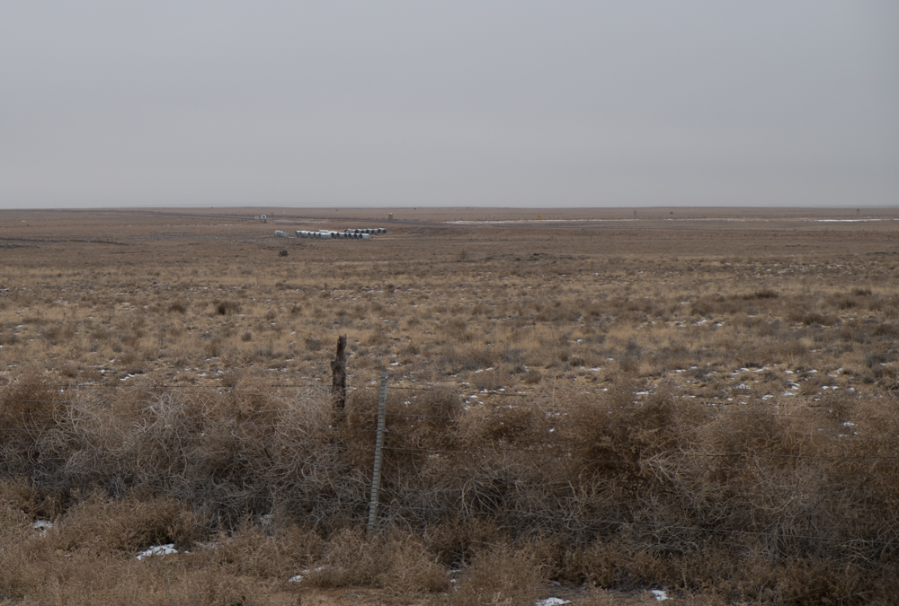
Tumbleweeds, Albuquerque’s west side, December 2013, John Fleck
This open land on Albuquerque’s west side, a 20 mile drive from downtown but probably half of that as the crow flies, is getting a newly improved four-lane road and drainage. It’s currently home to a cluster of shooting ranges, the place where we turn our post-sewage plant poop into compost, and a small airport. And beef on the hoof. If you look on the Albuquerque metro area’s long term planning maps, this chunk of land is colored a bright orange for “Developed Land, 2035”.
I’m reading Justin Hollander’s Sunburnt Cities, which argues that we in the sunbelt cities need to prepare for a rustbelt-like population decline. I’m not yet prepared to buy Hollander’s argument in total. After post-Economic Shitstorm declines in the years after 2008, places like Phoenix (one of Hollander’s case studies – he doesn’t deal with Albuquerque directly) are seeing their population curves turn back up.
But when you look at graphs like this, showing Albuquerque’s post-ES employment, it’s pretty clear that Hollander’s nevertheless onto something significant in terms of the planning assumptions that lead people to color land like this a bright orange for “developed land” on their planning maps:
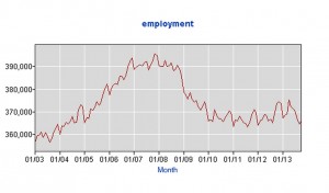
Albuquerque employment, Bureau of Labor Statistics