
“To say Albuquerque is located in a valley,” Paul Bauer and his colleagues wrote in Albuquerque: A Guide to Its Geology and Culture, “is geologically imprecise.” From Colorado to Texas, the river we today call the “Rio Grande” follows the path of what the geologists call “the Rio Grande rift”. As earth’s crust pulled apart, the crustal blocks in the midst of the path dropped, while the blocks on either side (but especially in the Albuquerque reach on the east side) rose. Sediment followed, dragged by water from up to down.
So, rather than excavating this enormous valley, the Rio Grande actually helped to fill a gigantic depression.
Duly noted, though “valley” seems a practical word nevertheless, imprecision notwithstanding.
The mountains to the east, the Sandias, are visually as well as geographically defining. Geographically, the city bumps up to their feet and stops. Visually, they show up in a lot of pictures, especially the iconic (cliché?) shot of river in foreground, cottonwoods in midground and mountains as the city’s defining backdrop. Inevitably, the cliché (like the one below) focuses on the characteristic hump of the Sandias’ northern reach. As Lissa points out, it’s the more visually interesting piece of the mountain range.
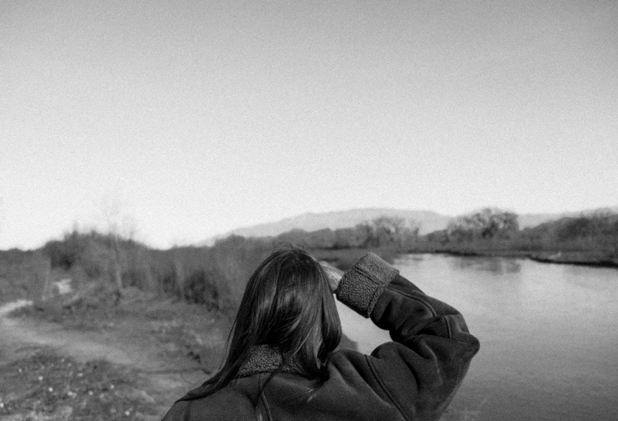
Lissa Heineman, Rio Grande, Sandia Mountains, January 2014, by John Fleck
For the record, she’s not actually looking at the mountains. She’d just heard a bird, which we later identified as a Townsend’s solitaire, high in a cottonwood. (The Bauer et al. book is a a great thing to have on the shelf for your own reference, or as a gift to the curious who might be visiting or live here.)
I knew we lived in a rift, but I never put it together that the river filled, rather than carved, its path. Thanks also for introducing me to crustal blocks, which is how I will refer to croutons from now on.
Lia – I like the crouton geology thinking!