
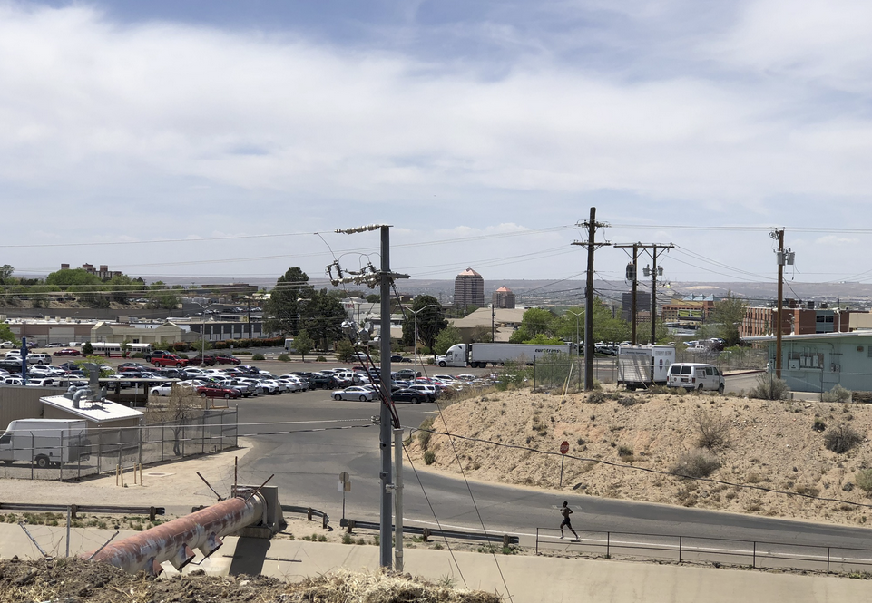
If you squint you can see the ribbons of green between the power poles and buildings of downtown Albuquerque
There’s a weird bench at the edge of a lovely little ten acre patch of desert sand hill scrub a ten minute walk from my office at the UNM School of Law.
The path circles the edge of the university’s north golf course, which is green and lovely in its pumped-groundwater way. The path (It’s a formal county recreational path, there are even signs!) cuts through some medical school buildings and emerges into one of the only patches of what feels like old open desert in the heart of the city.
For much of the history of human habitation of this valley, the line between valley floor and sand hills was sharp, a defining characteristic of the social ecological system. The main north-south route through this part of the valley is a mile downhill from my bench, skirting the bottom edge of the sand hills – high enough to be out of the Rio Grande flood plain, but just barely. It’s obscured in the picture by buildings, and even when you’re driving it in a car (or cycling it, which I don’t recommend), the urbanscape of pavement and irrigation draped across the landscape renders the edge between sand hills and valley floor unrecognizable.
That’s the literary trick – the use of contrast – that is at work in John Van Dyke’s famous “ribbons of green” passage (it of the title for our new book) in The Desert:
The desert terraces on either side (sometimes there is a row of sand-dunes) come down to meet these “bottom” lands, and the line where the one leaves off and the other begins is drawn as with the sharp edge of a knife. Seen from the distant mountain tops the river moves between two long ribbons of green, and the borders and the gray and gold mesas of the desert.
The line was especially obvious on an epic bike ride yesterday across Pajarito Mesa on Albuquerque’s west side. Through an accident of tangled property ownership, it’s sorta undeveloped, home to feral horses, some scraggly cattle, and some ramshackle off-the-grid colonias. After a couple of hours on the mesa’s informal dirt roads (surprisingly ridable – the dirt roads out on the sand hills are notorious), we dropped over the edge of the escarpment, past the dump and down Pajarito Road, toward the valley, and Scot drew my attention to the ribbons of green flanking the Rio Grande, spread out across the valley floor.
The contrast, after miles of desert riding, was visceral.
It was, as Van Dyke noted, “drawn as with the sharp edge of a knife”. I’ve read that passage umpty times, but with the detritus of a city draped over the landscape it’s sometimes hard to see with any clarity the central point Van Dyke was making in the way he drew his contrast.
This would bear no mention in a landscape where everything is green. It’s the contrast, and Van Dyke’s effortless portrayal of it, that makes the passage work.
This is why the little patch of desert out behind the law school is so useful. In a city where we’ve largely erased the knife-line of the ribbons’ edge, it is helpful to pop out for a lunchtime walk to make it real.
(update: Scot’s travelogue is here.)
Why isn’t UNM using recycled water for its golf course and all other grass areas? There is an initial cost, of course, but recognizing that we live in a desert requires action.
LEB – In terms of overall water supply, the benefits of recycled water here are not what you think.
Currently, wastewater is returned to the Rio Grande. Recycling it diverts it from the river to put on a golf course instead. So in terms of our overall mass balance, recycling wastewater is equivalent to removing that same amount of water from the Rio Grande.