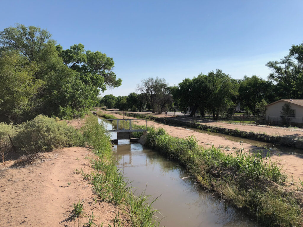
The Lane Lateral, left, and the Albuquerque Main running full through Albuquerque’s north valley, June 13, 2021
I got an email this morning from a friend watching as the bottom begins to drop out of the Rio Grande’s flow at a place called Otowi, north of Albuquerque. When Otowi drops, the river here in Albuquerque soon follows – one of those upstream/downstream things.
It’s been a weird year on our river – flows actually higher than all the pre-doom rhetoric about a drying Rio Grande would have suggested. But it’s deceptive.
The relative wet – “relative” because flows are still well below average, “wet” because not yet doomily low – is an artifact of water management rules. We’re at the place in the Rio Grande Compact’s tier of operating rules that mostly prevents New Mexicans from storing water in our upstream reservoirs. That means in the short term more water (because we’re not storing it behind El Vado Dam upstream on the Rio Chama) but in the medium term we’re screwed. Because once the snowmelt is gone, which it mostly is, we’ve got very little water in storage to bolster flows in the river and the irrigation system.
This is the bottom-dropping-out thing my friend was emailing about. It’s starting.
You can see it happening as the Rio Grande leaves the mountains up north in Colorado. At a place called Del Norte, the river’s flows have dropped from 4,000 cfs to 2,500 cfs in the last five days. Similarly the Rio Chama at La Puente, another gauge I watch, is dropping fast too. A lot of water management happens between those places and my river, but you can see the hurt coming.
On my morning bike ride, I was talking to a guy out in his yard in Albuquerque’s far north valley, near the border with Sandia Pueblo. I’d ridden up through the empty lot next to his house to see the ditches in back, and he was out working with his horse. He wasn’t a water guy, but he knew. “They’re going to run out of irrigation water in the next couple of weeks, right?” he said. Out behind his house – and the reason I ended up prowling the empty lot where he and I found conversation – two ditches running parallel, the Lane Lateral and the Albuquerque Main, were running full. For now, folks irrigating out of those ditches can still water their yards with Rio Grande water – and it is mostly yards in that part of the city, literally categorized as “YD” on the irrigation district maps.
It’s hot today, so I was hunting shade, and these north valley neighborhoods are green with trees and cool with shade. It’s what we do with a lot our Rio Grande water – make green that’s lovely to live in (or ride my bike through).
The homes in this part of the valley are on what we call “city water” – the Albuquerque Bernalillo County Water Utility Authority – which also takes care of most of the area’s sewage. Many of the homes also have domestic wells, drilled into the shallow aquifer, to water their yards if they don’t have access to ditch water. That seems like free water in a drought when the ditches go dry, but the aquifer and the Rio Grande are closely connected. In the end, it’s all coming from the river. All this lovely green is not without tradeoffs.

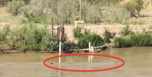
Pilings from Albuquerque’s old Route 66 bridge emerge as the Rio Grande drops. June 13, 2021
In late May, I started a repeat photography project to document the Rio Grande in Albuquerque this year as we nervously await the great drying we expect. On my morning bike rides a few times a week, I take the same two pictures from the Central Avenue Bridge – one looking upstream, one across parallel to the road. You can follow it here on Twitter – I’m pretty sure you don’t have to have an actual Twitter account.
This morning for the first time, with the river at Central under 750 cubic feet per second, you could see the old bridge pilings near the river’s west bank.

I’ve been working two or three days a week up in Los Alamos and now that we live in Santa Fe, ride my motorcycle over the Rio Grande at Otowi. I’ve been looking to see when those big gravel bars in the middle of the river start poking their heads above the water. Maybe I should shoot a picture or three when that happens.