
The Colorado River Stress test, a Homeric odyssey
While we eagerly await whatever it is that might happen this week as the Colorado River basin states struggle to come up with a short term plan to use less water, the Bureau of Reclamation is inviting y’all to a webinar this afternoon (Monday Jan. 30 2023, details here) to begin thinking about a long term plan to use less water.
It’s a crazy time, and I worry about our collective capacity, but the river can’t wait, so buckle up!
A brief refresher is perhaps in order
The Supplemental EIS
I emerged from the writing cave (new book underway about the Rio Grande, which is a mostly a different river entirely) to share my thoughts about this week’s “deadline” (which as I explained isn’t really a “deadline”) for the seven Colorado River basin states to come up with a plan for managing the river for the next several years. This is a short-term effort, an attempt to limp through the 2025-26 time frame without breaking things. It requires temporary rules to reduce water use as needed in the Lower Basin, maybe some water use reductions in the Upper Basin, and tweaks to the reservoir operations rules to keep from breaking Glen Canyon Dam.
“EIS” here stands for “Environmental Impact Statement”, the process by which Reclamation will analyze our choices before picking one.
The key words here are short term.
The Real EIS
Post-2026, we need a much more robust and long-lasting framework for using less water and not breaking the dams and trying to respect tribal sovereignty and our evolving societal values around respect for the environment in the face of climate change stealing a bunch of our water.
In that regard, Reclamation has launched an expansive effort to help us collectively, as a society, think through these options.
A bunch of us wrote them letters last year telling them what we thought they should think about. They’ve summarized them nicely (pdf here). My favorite part is the people from Costa Rica and the UK who weighed in. This is a far-reaching issue.
The connection between the Supplemental EIS and the Real EIS
One of the difficulties in sorting out the near-term plans is that everyone’s angling for the high ground in the long-term plans. There’s a fear among water managers that if in the short term they demonstrate that they’re able to get by with less water, they’ll get screwed long term. A lot of what we figure out in the short term will echo into the long term.
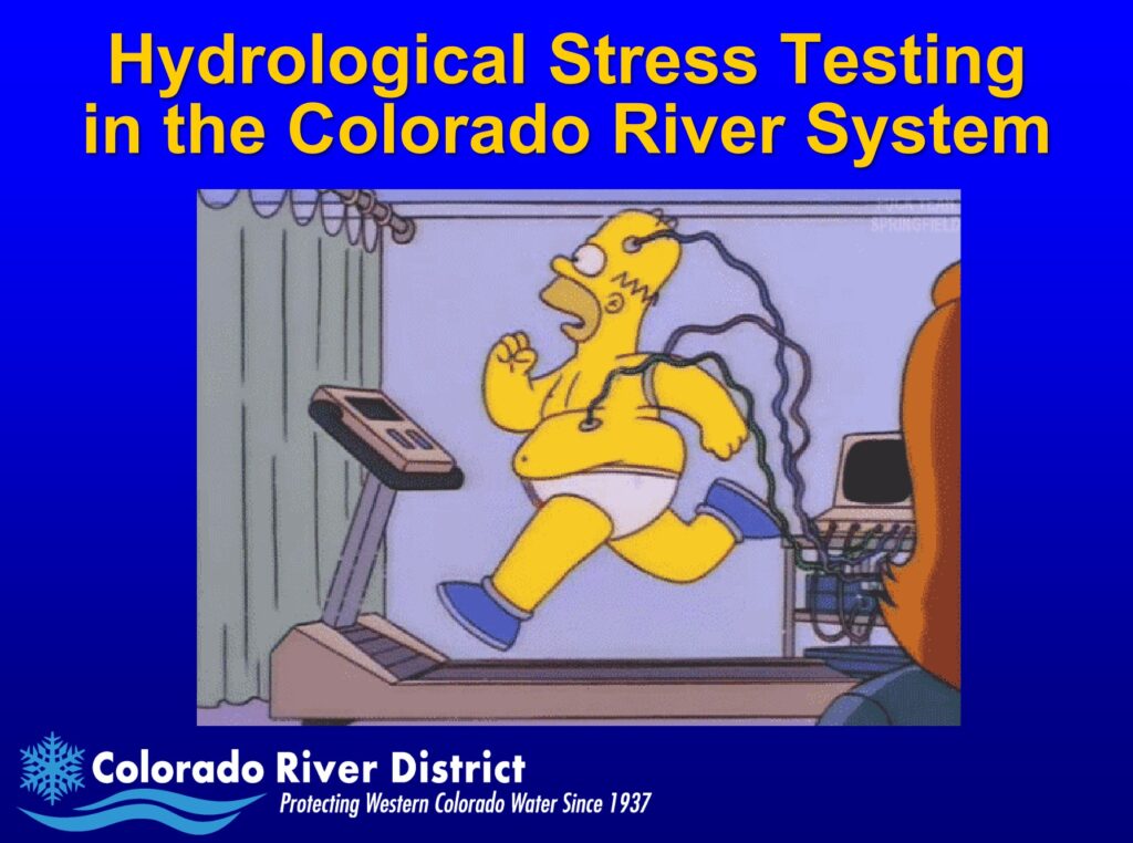
Homer’s Odyssey
In season one of the Simpson’s, there’s a great episode called “Homer’s Odyssey” where Homer Simpson gets fired from the nuclear power plant and then becomes a citizen safety advocate who gets speed bumps and stop signs installed in Springfield, and Homer becomes a revered community leader, and Mr. Burns hires him back to become the chief safety officer at the nuclear power plant.
You didn’t think I meant reciting the entire Homeric epic, did you? I fear one episode of the Simpsons is the most we can hope for right now.
Picture courtesy Eric Kuhn’s 2013 presentation at the Colorado River Water Users Association.
Great letter, Guys!
I read most of the comments to the USBR discussion paper from last year, looking for the words – monitoring, measuring, real-time data, percentage of flow, instrumentation and hydrometric stations. Your document was the closest thing I read on anything concrete on the river banks that actually measures water level for flow calculations. Maybe I’m too old fashioned or uninformed, but I’ve been working in Hydrometrics and Hydrology for 54 years as a field technologist and a Hydrologist and I can’t imagine any regulation or compliance in water flow apportionment without the proper instrumentation on experience in hydrometrics. I know there is a Hydrometric network in place in America run by the USGS, but there was no mention of them either. In the Province of Alberta in Canada, where I work, any time there is a water flow diversion request, or a water use permit application, monitoring and reporting are the two main compliance issues asked of a proposed water use. I can’t get any permits for any of my compliance without answering 2 questions. ! How much water are you asking for and 2. How are you going to monitor and report your usages. Just wondering if that’s a part of the problem in the Colorado Basins.
Dick Allison, an Old Hydrologist from Canada
To answer you Mr Allison, yes… The river is monitored in real time. The USGS does the measurements in 15 minute increments (96 readings per day). Collected data is telemetered through the GOES Satellite system on an hour by hour basis. To my knowledge, the USGS does most of the monitoring for the Upper Colorado Region for the river. In addition, NOAA and USDA also does some monitoring to a lesser degree measuring SNOWTEL. In the Lower Colorado Region, river monitoring is done by both the USGS and BOR. Again, the USGS system collects real time data at 15 minute intervals. The BOR collection is a little different as the efforts are distributed both between river monitoring and distribution to the entities that draw water from the river. I often referred to this as being ‘dual collection’. When you think of hydrometrics and data collection, you realize that there are defined ‘standards’. The collection rate of the 15 minutes time frame is really dictated by the telemetry aspect of the equation. The data payload to the satellite and the bandwidth being the limiting factor.
I mentioned earlier about the duality of the collection that BOR does. This is due to the higher requirements that water accounting data demands. For this, you need to account for EVERY minute. Not 96 measurement intervals per day but 1440 measurement intervals per day. Events happen quickly at a diversion and we need to account for that. Taking the measuring cycle a step further, we can take multiple measurements from the sensor within that minute. That way we can distill the multiple readings from the measurement cycle into High-Low-Mean Average values. From that you can actually determine ‘site personalities’ at the Gage. Given the sites that BOR measured on the Lower Colorado River, we estimated roughly 44 million sensor measurements were made during a year.
As a senior Hydrologist you can appreciate why this was done. Everything that couldn’t be transmitted through the limitations of telemetry was saved locally to the site’s data logging equipment. The Hydrotech has to go out for calibrations at the site on a monthly basis, why not have them dump this detailed log as well? The same data collection methods were deployed at all the river gages, dams and pumping plants.
This has been standard practice for years. The last five years I’m not too sure of as I retired from twenty five years of field support on the Colorado River. They probably improved the methods since I was shown the door.
Dave G, a Snowbird residing in Arizona and Oregon