Driving between old Mesilla, New Mexico, and the Rio Grande this evening after dinner, Lissa and I saw a bunch of new pecan orchards going in.
We took last minute advantage of university spring break to head south. We spent some time wandering around looking at and thinking about the border, and also driving the roads of the Rio Grande valley floor as it spreads out south of Elephant Butte Reservoir on its way to El Paso and Juarez.
Both things are, in very different ways, examples of the way human institutions shape landscapes on a grand scale. With the new book done, we’re in the calm before the new book storm, and I’ve been thinking back to an idea I’ve had for some time about at thing to write. I’m not quite sure how to explain it, but involves the way what economists would call “exogenous forces” shape landscapes.
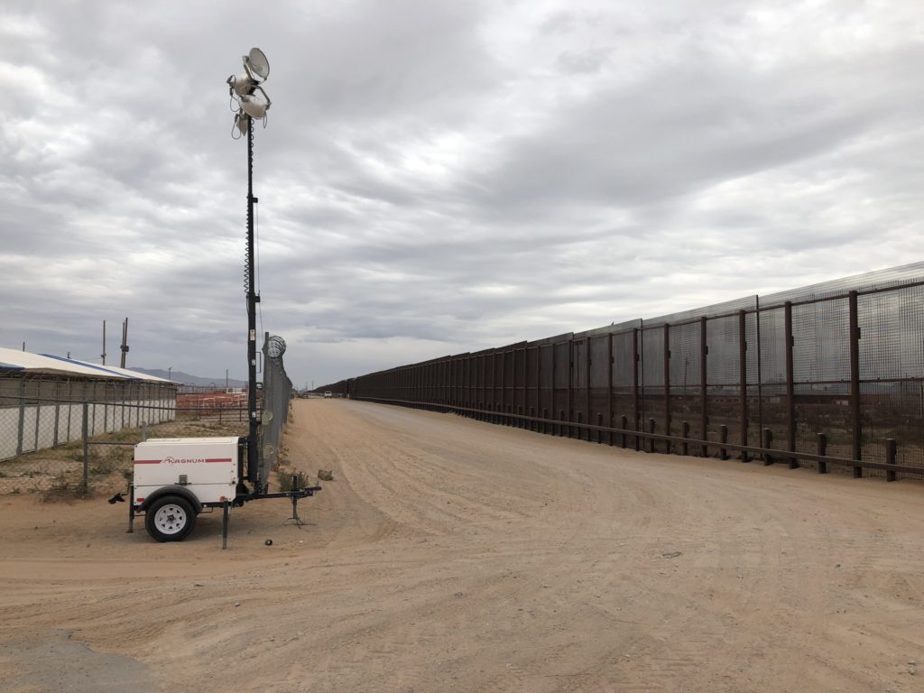
In the borderlands country, we’ve got the obvious case of a relatively arbitrary decision nearly two centuries ago to draw a line on a map in a particular place and a particular way that gives us this:

El Mesteño Cattle Co., Santa Teresa, New Mexico, USA
On the left is the El Mesteño Cattle Co. The thing in the middle is the U.S. Mexico border, I guess you’d call that a “fence”. Across the fence is El Mesteño’s counterpart in Mexico. It’s a transboundary cattle shipping point, in the middle of the desert.
Landscape, shaped by rules.
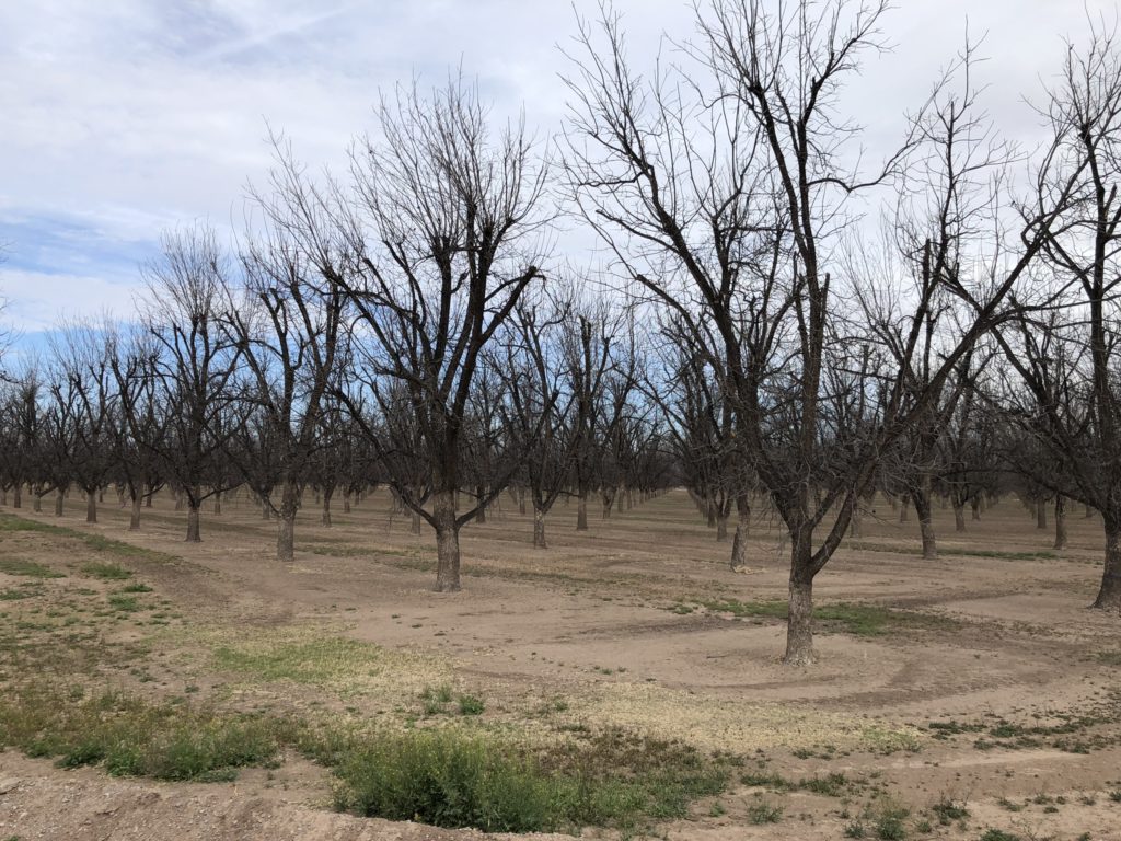
The border was more than a little uncomfortable, so Lissa and I dropped back down into the Rio Grande Valley and drove through miles and miles of pecan orchards, landscape shaped by a different set of exogenous forces.
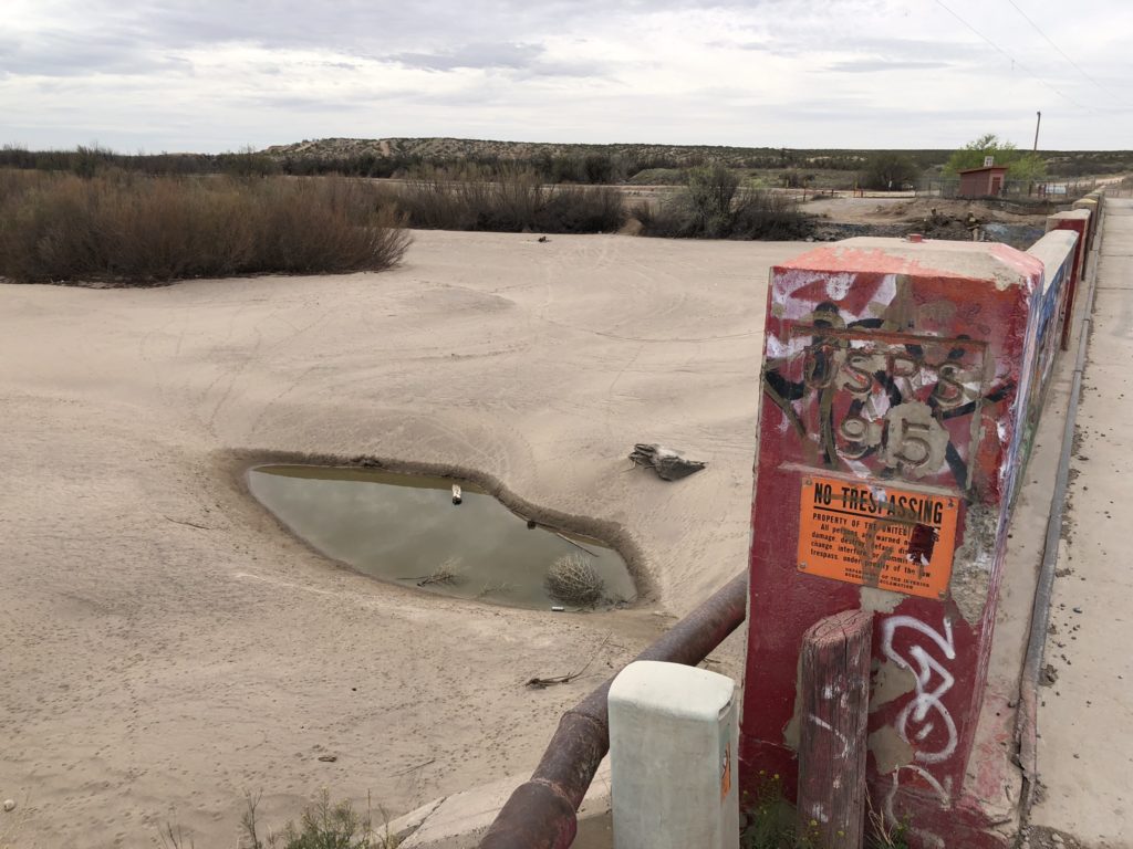
Down a side road through magnificent, lucrative groves, we came upon this:

Mesilla Dam
If you peer through the graffiti, you can see the “USRS 1915”. The U.S. Congress in 1902 passed the Newlands Act, which created the U.S. Reclamation Service (now the Bureau of Reclamation). In the teens, the Reclamation Service built the Rio Grande Project, which controlled flooding and distributed irrigation water to the Mesilla Valley. (The sand, you’re wondering. They turn the river off here over the winter, and haven’t turned it back on yet for spring irrigation season.)
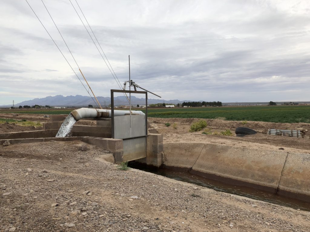
The result today is forests of pecan trees, at this point more than 30,000 acres and growing. Among the exogenous forces shaping this forest is a set of rules that permits groundwater pumping when surface water flows are scarce, as they have been in recent years. Among the countervailing ecosystem pressures, if one could think of them that way, is a lawsuit by Texas, against New Mexico, arguing that the groundwater pumping violates the Rio Grande Compact’s water delivery rules.

countervailing ecosystem pressures here
A couple more threads here.
Pecan acreage here is up, from 24,000 in 2010 to 33,000 in 2018. Alfalfa, meanwhile, is down, from 30,000 acres in 2010 to 15,000 acres in 2018. As surface water grows scarce, groundwater pumping is expensive, pecans are lucrative, alfalfa is not. (This, at least, is my hypothesis. More study is needed.)

pecans
Exogenous forces, shaping landscapes. There’s a story here somewhere.

IIRC, the fence was first erected to keep Mexican cows with cattle tick fever out of the US.
Ah John
You bring back memories. About 20 years ago I was working on the the water supply for Colonia Felipe Angeles on the Mexican side of the border. I found myself north of Anapra when I came to that fence and the cattle operation. Though the was an open gate I thought I had better return to the U.S. the way I left. However, as open and unguarded as the border was there, there were no hoards of illegal emigrants.
Bill