tl;dr The new Colorado River conservation program may not conserve a whole lot of water. But growing the “civic community” needed to solve the basin’s water problems may be far more important.
Longer Version:
The Colorado River Pilot System Water Conservation Program crept forward last week, in the process demonstrating an endearing quirk of Colorado River Basin water governance – no one is in charge. This no-one’s-in-chargeness is one of the central themes of my book. With the System Conservation Program, the folks not in charge are handing me an easy story line.
The news was the announcement Wednesday (press release here, scroll to the bottom of this post for the full solicitation document) of a “Funding Opportunity for Voluntary Participation in a Pilot System Water Conservation Program.” It’s a modest effort among basin water agencies to pool some cash to “conserve Colorado River System water for storage in Lakes Powell and Mead.” The $11 million involved is not nearly enough to fill the empty reservoirs, and no one expects that it should. Rather, it is an experiment in the construction of a new kind of water management widget aimed at staving off a particular kind of disaster – a tragedy of the commons among the nine states (seven in the U.S., two in Mexico) trying to figure out how to share the shrinking river.
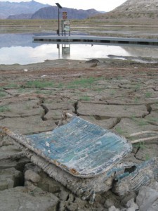
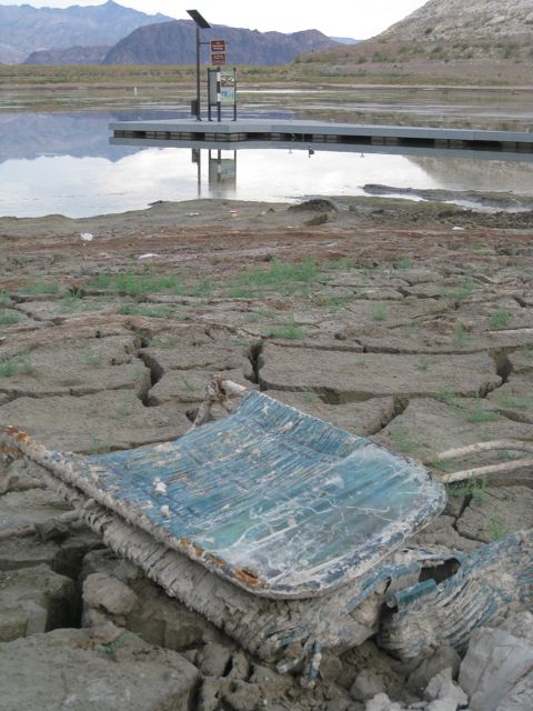
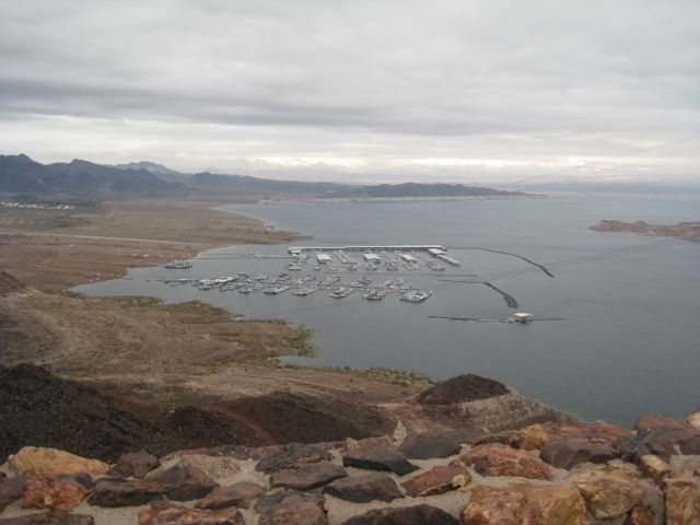
Boulder Harbor, Lake Mead, Oct. 18, 2010
When I say “no one is in charge,” I’m not describing a state of either anarchy or chaos. It’s actually a pretty orderly system. Rather, the system operates via a set of emergent properties based on existing rules and institutions, developed collectively, and people who know one another and are trying to figure out how to solve problems together by collectively developing new widgets. As opposed to, say, Secretary of the Interior Jean-Luc Picard just saying, “Make it so.”
Here’s how the newest widget would work. The big municipal water agencies representing the basin’s four largest metro areas – Southern California, Phoenix-Tucson, Las Vegas and Denver – pool money in a fund to pay farmers or cities to do something (the request for proposals doesn’t specify what) to “develop short-term pilot projects that keep water in Lakes Powell and Mead through temporary, voluntary and compensated mechanisms.” In other words, we’ll pay you to cut your water use and leave the water in the river, so it can get to the reservoirs. (The proposal letter says the water could come from cities or farms, but who are we kidding? The water’s gonna come from farms. I promise to correct this post if I turn out to be wrong on this.)
It is being done this way because everyone knows there are problems (chiefly not enough water), but no one has the authority to impose solutions, to mandate that water users use less in a way that’s binding across the basin, leaving any individual user with the classic “tragedy of the commons” dilemma – if Phoenix gets real and slashes its use, that would just leave more surpluses for L.A. The two alternatives, therefore, are to continue draining the reservoirs, with confusion and uncertainty about who would bear the brunt of shortages once the shit gets real, or some sort of collective action where everyone gets together and agrees on a plan to avoid said shortages. But wow, that’s sure hard to do.
If you look at the history of basin management widget invention over the last 15 years, the major innovations have emerged from fuzzy collective negotiations that are difficult for outsiders like myself to fully understand. The 2001 Interim Surplus Guidelines, which led to a significant reduction in California’s overuse of surplus water, grew out of seven-state/federal negotiations that dragged on for a painful decade. (See Jim Lochhead’s remarkable history for a great picture of how that deal went down). The 2007 shortage sharing agreement, similarly, was a seven-state/federal affair, with the tent expanded in important ways to include environmental interests in the discussion. I don’t think that story has been written yet. (Buy my book! As soon as I finish writing it!)
Minute 319, which took some important steps toward clarifying U.S.-Mexico issues of surplus and shortage sharing, was nominally a nation-to-nation negotiation, but it was managed such that the tent was even bigger, including states, water agencies, and environmental non-governmental organizations on both sides of the border. Big, big tent. (See Dan Tarlock, unfortunately behind a paywall, for a lot of that story.)
I’ve been collecting and misusing jargon to make sense of this stuff faster than I can understand its significance (“network governance,” “polycentric governance,” “social capital,” “institutions, both formal and informal”, “social-ecological systems,” “sustainability,” “resilience”). My flavor of the day is “civic community,” from Paul Sabatier and colleagues’ introduction to their book “Swimming Upstream”:
[W]e conceptualize a collaborative process as essentially a set of rules regarding the types of participants, their entry and exit from the process, their authority to undertake tasks, and how their actions lead to policy outcomes…. One causal pathway leads from process and context to “civic community,” which includes human capital (e.g., knowledge about watershed conditions), social capital (e.g., networks of reciprocity), trust of others, legitimacy concerns, and attitudes toward collective action. These civic community variables are conceived as both an end in themselves and a means to better policy outputs.
Sabatier and colleagues are focused on smaller watersheds and a different family of issues, but I think it generalizes

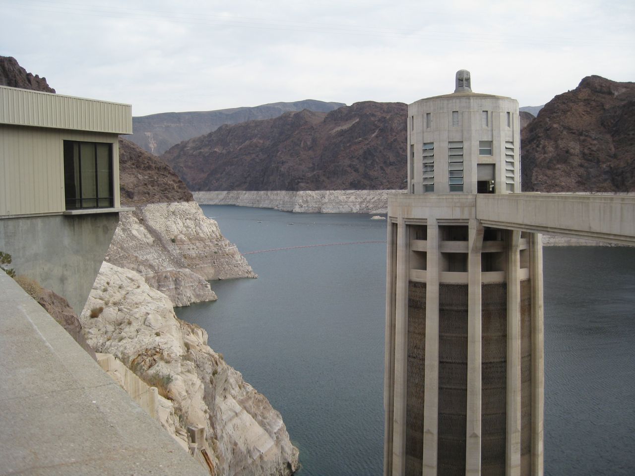
Lake Mead, December 2011
A lot of this is formal, but a lot is informal. As I’ve explained this process in a series of talks I’ve been giving this fall, I’ve been using some schtick about “solving the Colorado River’s problems in hotel bars”. That captures the fuzzy nature of the interactions among the players and how solutions depend in part of the kind of shared understanding that develops through personal relationships among the participants. Plus I have multiple actual hotel bar stories. (They’ll be awesome. Buy my book!) I’ve treated this problem-solving approach as a good thing, but some smart critics of my argument have pushed back, noting the implications of cronyism and who gets left out because they’re not among the cool kids invited to the bar after the day’s meeting. I think that’s a fair criticism, and I think it extends to some of the private grumbling I hear about the System Conservation Program. We have a long history in the Colorado River Basin of decision making that fits the Sabatier model described above, but in which the only participants in the “civic community” were the old “water buffalos”, big powerful water interests, who long marginalized Native American communities, environmentalists, and recreation interests.
We have to remain wary about who’s not being invited to the bar.
But with that caveat, the System Conservation Program has some important characteristics that make it a promising problem-solving model.
The first is the way the big municipal water agencies stepped forward together. This effort – each put down $2 million – sends a “we’re all in this together” message. Up until now, water saved was water saved individually. Under this effort, water saved belongs to all. The fact that the munis are leading also is a recognition that they are the ones who are vulnerable. They’re owning up that that. A corollary to this is the Upper Basin/Lower Basin component. Up until now, each basin has mostly dealt with its problems separately. This is a related version of the “we’re in this together” message.
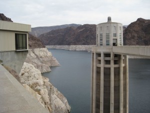
Lake Mead, Oct. 17, 2010
The second very important characteristic is the program’s potential to build bridges between the big players and smaller agricultural water agencies, who haven’t typically been in the hotel bar. The jargon here is “polycentric governance”, the need to get the links right between basin actors at all scales. Look at the list of players who are getting the System Conservation Program notification letter, which ranges from the big boys and girls like the Southern Nevada Water Authority to the little Bard Water District on the Arizona-California border.
One positive outcome from this would be that it works – that the players figure out how to operate the necessary contracting and water management tools needed to set sane prices, measure outcomes and ensure saved water actually ends up in the reservoirs.
But failure at those outcomes would not necessarily be failure. If this doesn’t work, we’ll have to try something else, and if this process can also maintain and enhance a functional “civic community” with a shared understanding of the basin’s problems and a desire to work collectively to fix them, woot. We’ll need it for building the next widgets, which will certainly be harder.
And even if the pilot program works, come to think of it, we’ll still need to design more widgets. We’ll never solve the Colorado River once and for all, we’ll just need to keep adaptively managing it. So maybe the “civic community” part of the System Conservation Program is the most important piece of this, period.
In her speech accepting the Nobel Prize in Economics in 2009, Elinor Ostrom put it this way (pdf):
A core goal of public policy should be to facilitate the development of institutions that bring out the best in humans. We need to ask how diverse polycentric institutions help or hinder the innovativeness, learning, adapting, trustworthiness, levels of cooperation of participants, and the achievement of more effective, equitable, and sustainable outcomes at multiple scales.
Which bar shall we meet at? What time?
Solicitation letter