tl;dr: A feud over how to implement Colorado River conservation adds another hurdle to final completion of the Colorado River Drought Conservation Plan.
longer: While Colorado River Basin folks have been paying obsessive attention to Arizona’s struggle to come up with an internal agreement to cut back on its use of Colorado River, a second within-state argument, less noticed, has emerged into public in the state of Colorado that also poses risk for getting the Colorado River’s Drought Contingency Plan signed by the end of the year.
At issue is the path Colorado takes to reducing its use of water in the event of an Upper Colorado River Basin shortage. For years, the mantra has been “voluntary, temporary, and compensated.” If there is a shortage, the mantra suggests, some water users – most likely farmers, and the most likely farmers are on Colorado’s west slope – would be paid to temporarily curtail their uses.
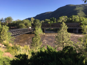
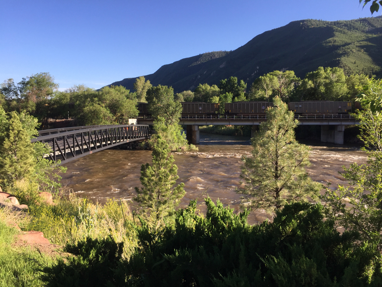
confluence of the Colorado River, left, and the Roaring Fork, in Glenwood Springs, Colorado. Note coal train for scale.
The water would go into a new storage pool being created by the DCP, water set aside to meet the Upper Basin’s delivery obligations under the Colorado River Compact, a sort of watery savings account. It would be used, in times of bad hydrology, to make sure the Upper Basin can meet its Lee Ferry delivery obligation under the Colorado River Compact. The question of how to fill the account ahead of time, before the risk becomes too great, has been difficult. “Voluntary, temporary, and compensated” has been a guiding principle. No farmer could be forced to contribute.
But in the last month, an alternative idea that had been discussed behind the scenes has been creeping into public view – the question of whether “voluntary, temporary, and compensated” would be enough. It first appeared in a memo last month from the staff of the Colorado Water Conservation Board, the state’s primary water policy agency. One of the key questions, the memo noted, was “whether the program would be limited to temporary, voluntary, and compensated conservation activities or be expanded to include something more”.
In a report last week to the Colorado River Water Conservation District Board*, river district director Andy Mueller was blunt in describing the ensuing discussions at the CWCB meeting during which the issue was discussed:
The Front Range representatives affirmed their position … that a voluntary program was a fine goal but that they believed the state needed to roll out a program which includes rules and requirements for mandatory anticipatory curtailment. The presentation from the string of Front Range entities confirmed the River District Staff’s concerns that major water users in the state would like the Upper Basin Demand Management pool established quickly with the intent that it be filled with water from a program highly or exclusively dependent upon water contributed via uncompensated, anticipatory, mandatory curtailment of water rights in the Colorado River Basin.
This is a manifestation of Colorado’s historic east-west water divide, a source of political tension that goes back nearly a century. Growing cities in the urbanizing east covet water. The rural west has water. This tension makes solving the problem of how to fill the compact compliance pool contemplated by the DCP tough. And you should add it to your list of outstanding problems that could derail the seven state interstate agreement.
Here’s the dilemma. In addition to a package of interstate agreements, DCP seems to require federal legislation. And if you look at the documents released Oct. 10, you’ll see that one key piece of the puzzle is that the Upper Basin is insisting as part of the package on legislative authorization to create the drought storage savings account. This gives Mueller and the River District (the central governance entity looking out for West Slope water interests) the leverage to demand that “voluntary, temporary, and compensated” be built into the idea of drought storage from the beginning. From Mueller’s memo to his board (“UCRC” here is the Upper Colorado River Commission, which represents the four Upper Basin states; “FRWC” is the Front Range Water Council, representing east side, largely but not entirely municipal water agencies):
We believe that if a Demand Management pool is created through federal legislation and action by the UCRC (starting with the execution of the currently contemplated DCP documents), that there will be a significant push by the members of the FRWC to move immediately to an anticipatory, non-compensated curtailment model of contribution to the pool. We respectfully, but strongly disagree with the concept that the push for federal legislation and the execution of the Upper Basin DCP documents are not inherently tied to the establishment of a demand management program within the state of Colorado. If the pool is established without a commitment to principles designed to protect Western Colorado agriculture and initially limited to the publicly vetted concept of a voluntary compensated program, Western Slope agriculture is at risk of quickly becoming the sacrifice zone.(emphasis added)
Brent Gardner Smith has been doing a nice job of covering this for Aspen Journalism:
“This just shows how important it is to get the demand-management program right, and that we don’t rush into a demand-management pool in Lake Powell before we’ve had this discussion and before we’ve agreed to a policy and principles to guide us,” said Tom Alvey, the current president of the district’s board, who represents Delta County. “From all the perspective of water users on the Western Slope, there is huge concern about this.”
And therein lies the dilemma for the seven-state DCP. It is generally accepted that federal legislation only happens if all seven states (and therefore their 14 U.S. senators) agree. If they do, we could see something after the election, in the lame duck session of Congress. But Alvey and his River District colleagues may have blocking power. If Colorado’s water users aren’t on the same page on this, there is a risk that Colorado’s senators may not go along with a DCP bill.
The CWCB’s Brent Newman tried to reassure the River District Board at last week’s meeting. Per Brent Gardner Smith’s story:
Newman … emphatically told the river district’s directors Tuesday that the state is not working on a mandatory curtailment program to avoid a call on the river system under the 1922 Colorado River Compact.
“Not myself, not the CWCB staff, not our board, not the Attorney General’s Office, not the division of water resources, not the state engineer, none of us at the state are assessing or recommending any kind of mandatory anticipatory curtailment scenario,” Newman said. “That is not in our books. Yes, we’ve had some water users say that if voluntary, temporary and compensated isn’t sufficient, you may have to look at this. We are not doing that.”
So I guess add Colorado’s name below Arizona’s on your list of “places where stuff needs to be worked out before the DCP can happen.”
* Disclosure: I have worked in the past as a consultant to the River District on a study of the risks of drought and climate change to Colorado River supplies, specifically intended to answer questions about how much water might be needed to fill the kind of savings account described above. I am also currently collaborating on a book with former River District General Manager Eric Kuhn.